Lost Technologies
Greek Fire, an Imperial Secret and the Formula That Died
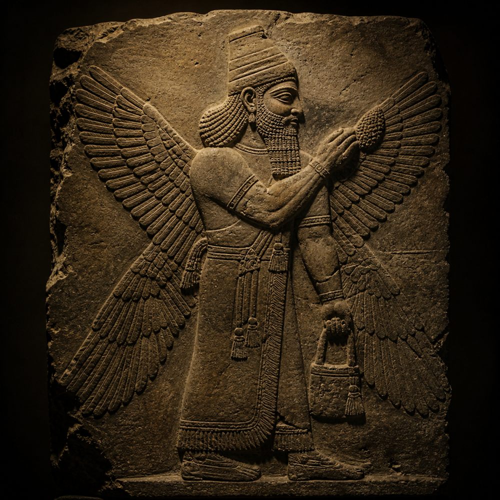
An emperor told his son the recipe came from an angel, and that anyone who gave it away would burn.
Old maps · lost machines · strange signals
Ancient maps, lost technologies and unexplained signals, traced to the documents, artifacts and accounts behind them: what supports each claim, what challenges it, and what is still unknown.
Join the readers who follow the record. One email when a new investigation is out. No noise.
Featured investigation · The Shape of the World
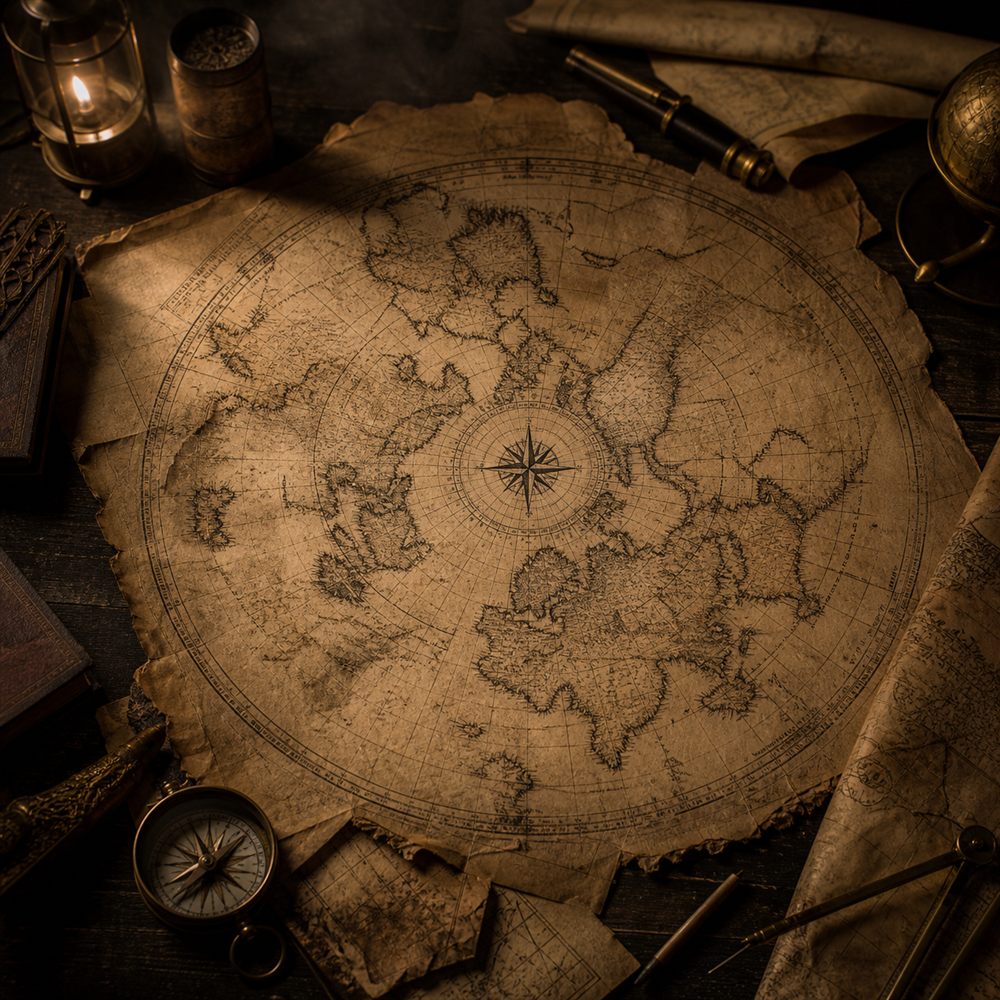
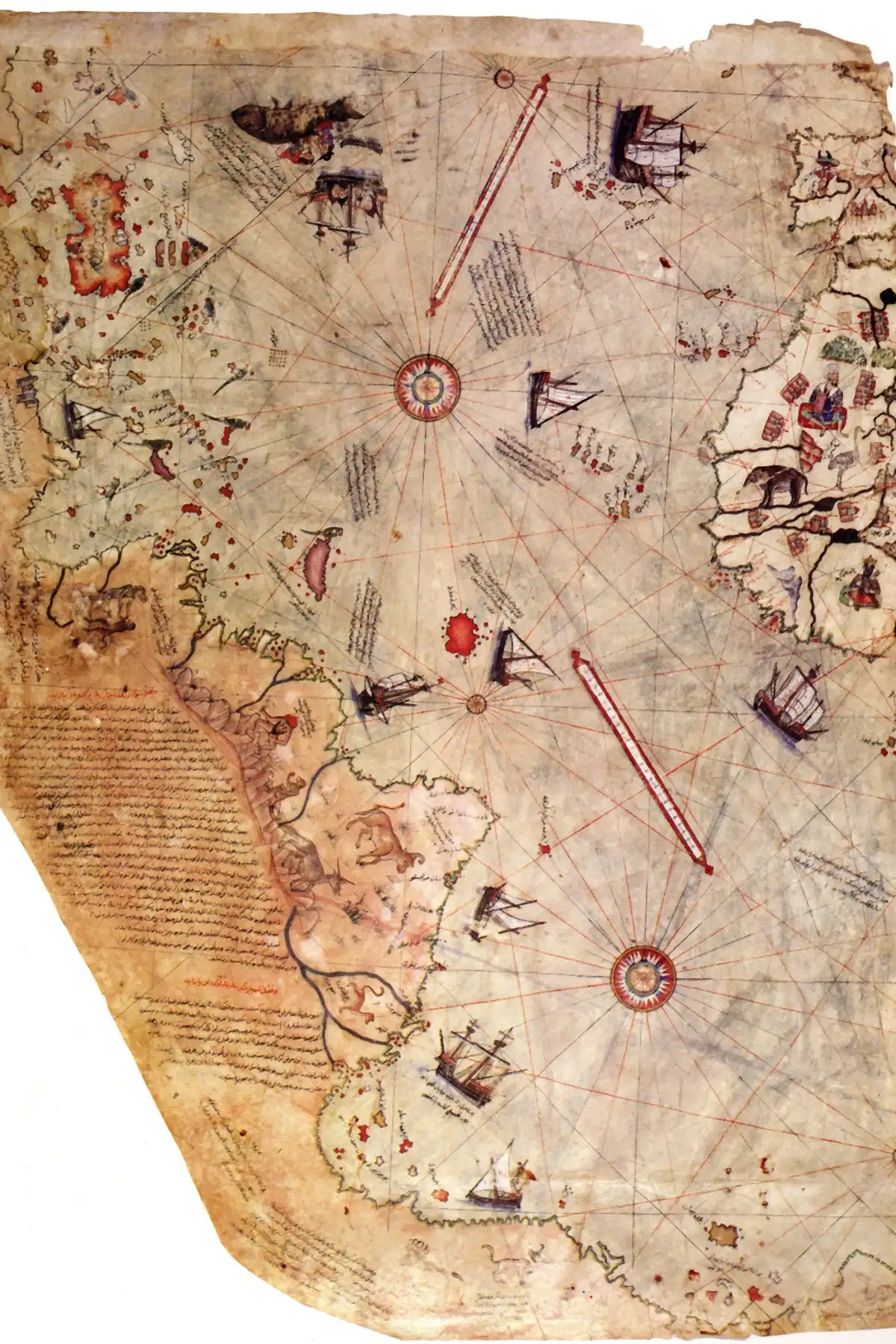
A 1513 Ottoman chart, the coast along its bottom edge, and the 1960 Air Force letter that called it Antarctica.
In 1513 the Ottoman sea captain Piri Reis drew a chart of the Atlantic on gazelle skin, and along its bottom edge a coastline turns east and runs off the sheet. In the 1960s the historian Charles Hapgood read that coast as Antarctica drawn before the ice, and an Air Force squadron he wrote to called it reasonable. Map historians read it another way. This is what the map shows, what each reading rests on, and what is still unknown.
Read the investigationLost Technologies
An emperor told his son the recipe came from an angel, and that anyone who gave it away would burn.
Lost Technologies
Sponge divers raised it by accident in 1900. Nothing else geared like it survives for more than a millennium.
The Watchlist
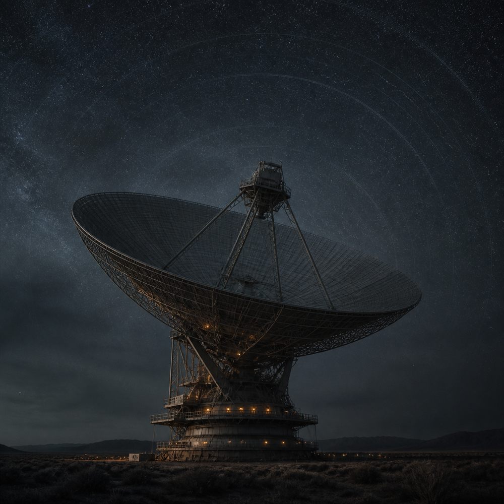
An interstellar visitor left the solar system faster than gravity alone allows, and the tail never showed up.
Signals
He built the most sensitive instrument of its kind, pointed it at the sky, and reported pulses that arrived in order.
Signals
In 1928 a mathematician in Oslo and a physicist in Eindhoven timed a signal that refused to come straight home.
Signals
On 15 August 1977 a telescope that could not turn wrote down something loud on the quietest frequency there is.
Print-ready download
$8.88
View the print